I had the chance to do the 3 day Quilotoa trek and then spend a fourth day at the Cotopaxi National Park. It was a wonderful opportunity to see the beauty of the northern Andes.
Quilotoa Loop
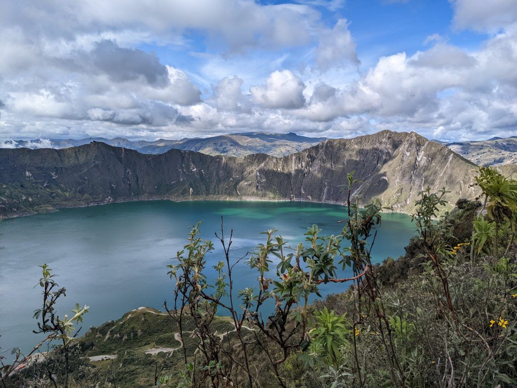
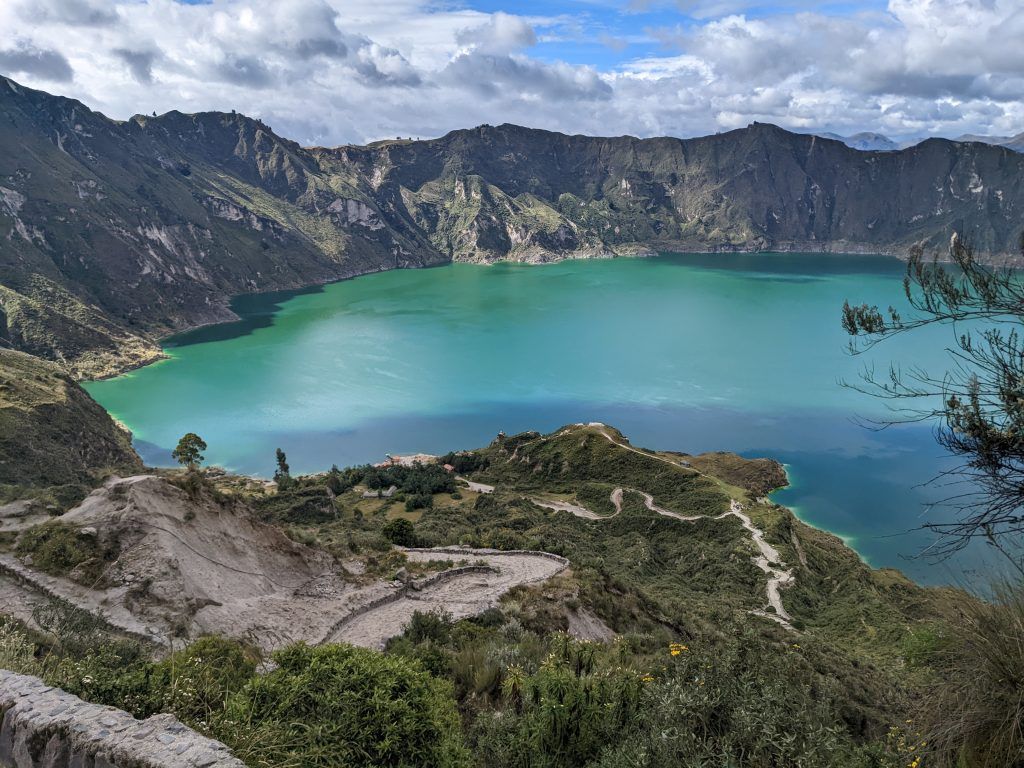
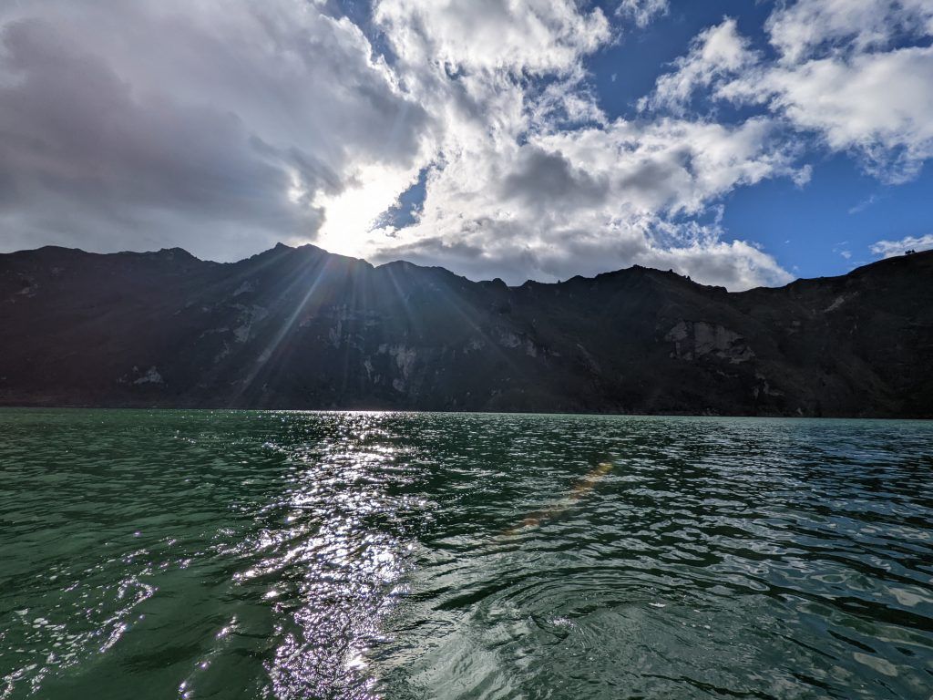
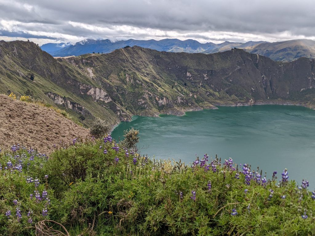
Quilotoa Lake is one of the most beautiful lakes I’ve experienced. It’s over 3km wide and sits inside the Quilotoa volcano. The lake was created by a massive eruption by the volcano around 800 years ago. The mudflows from the volcano were so massive they reached the Pacific Ocean. The highest point of the volcano rim is at 3,810 meters (12,500 feet) and the lake is at 3,500 meters.
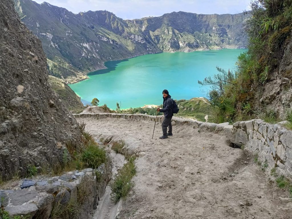
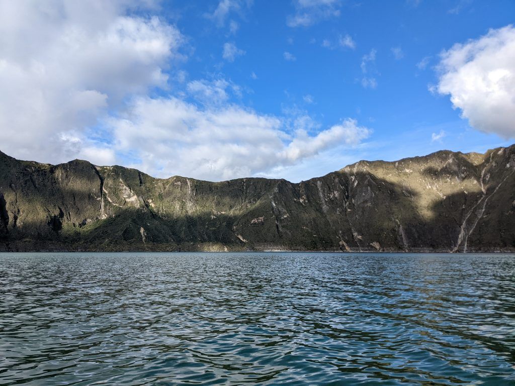
The first day my guide, Diego from Barefoot Expeditions, and I hiked down to the bottom of the lake, then rented a boat and paddled out to the middle. We were the only ones on the lake and it was incredibly peaceful. We then took donkeys back up the steep trail to the top. As you can see from the pictures below the lake has a multitude of moods as the clouds rapidly pass over and constantly change the lighting.
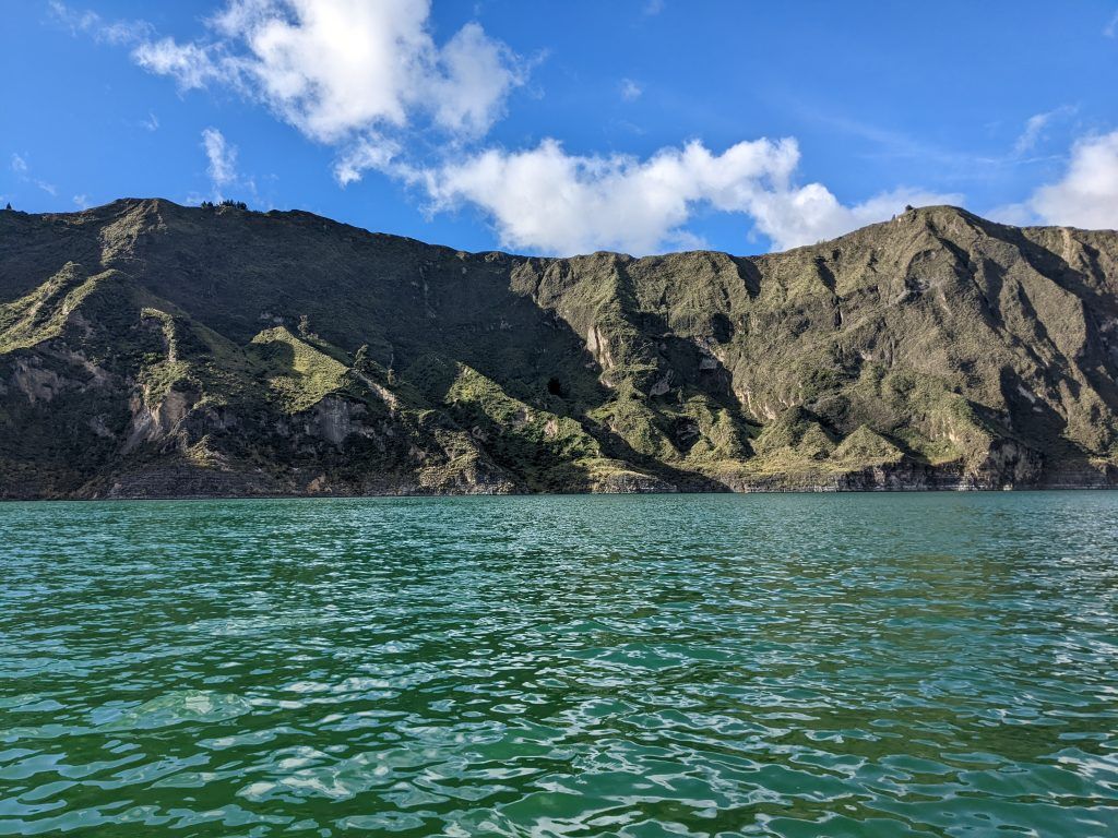
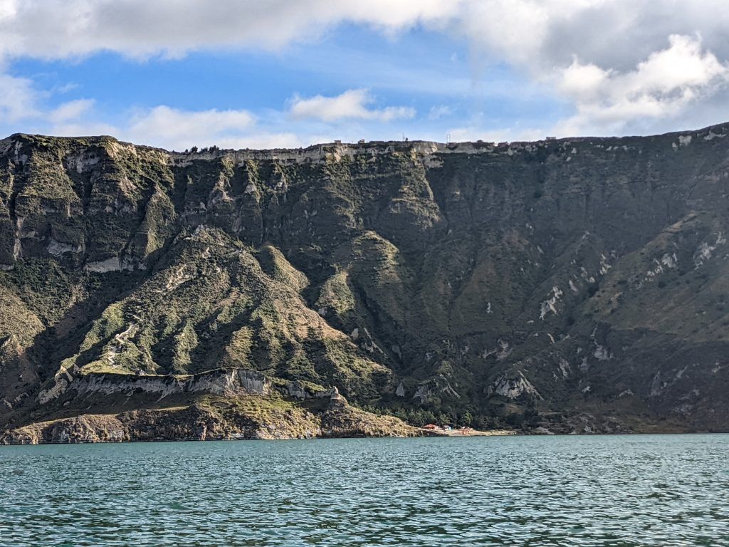
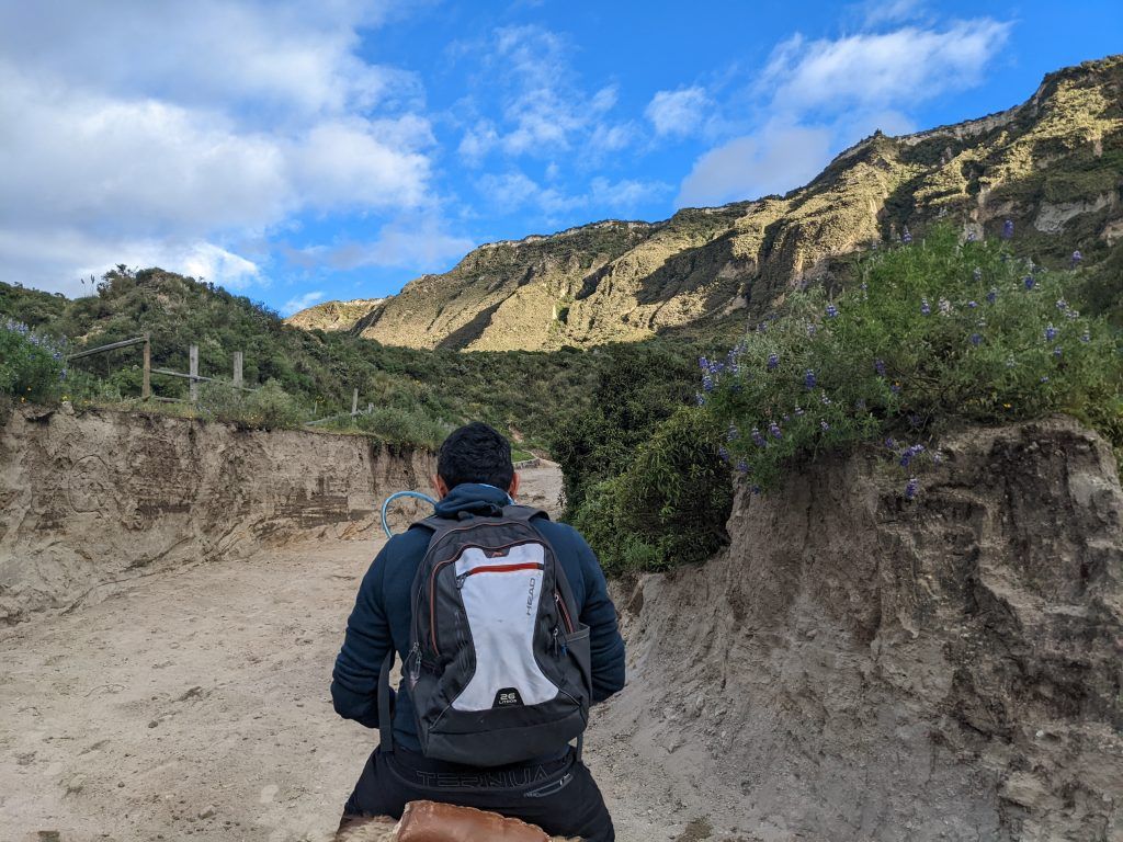
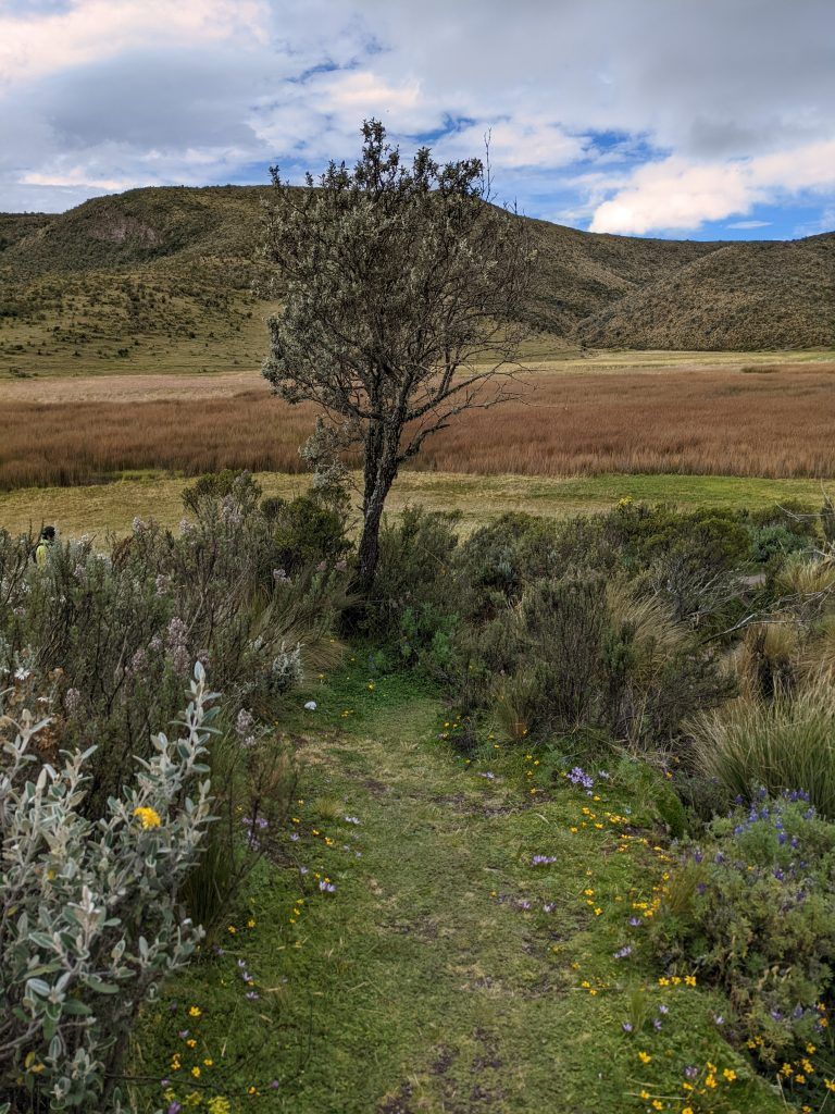
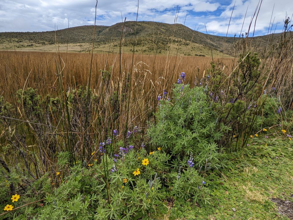
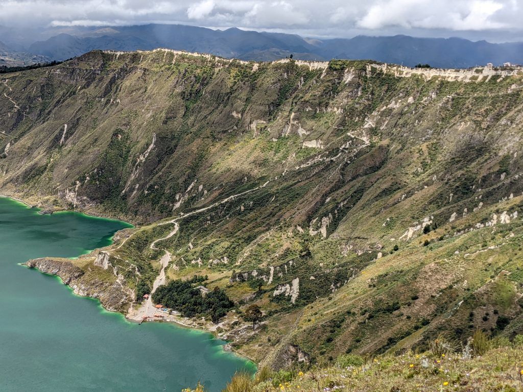
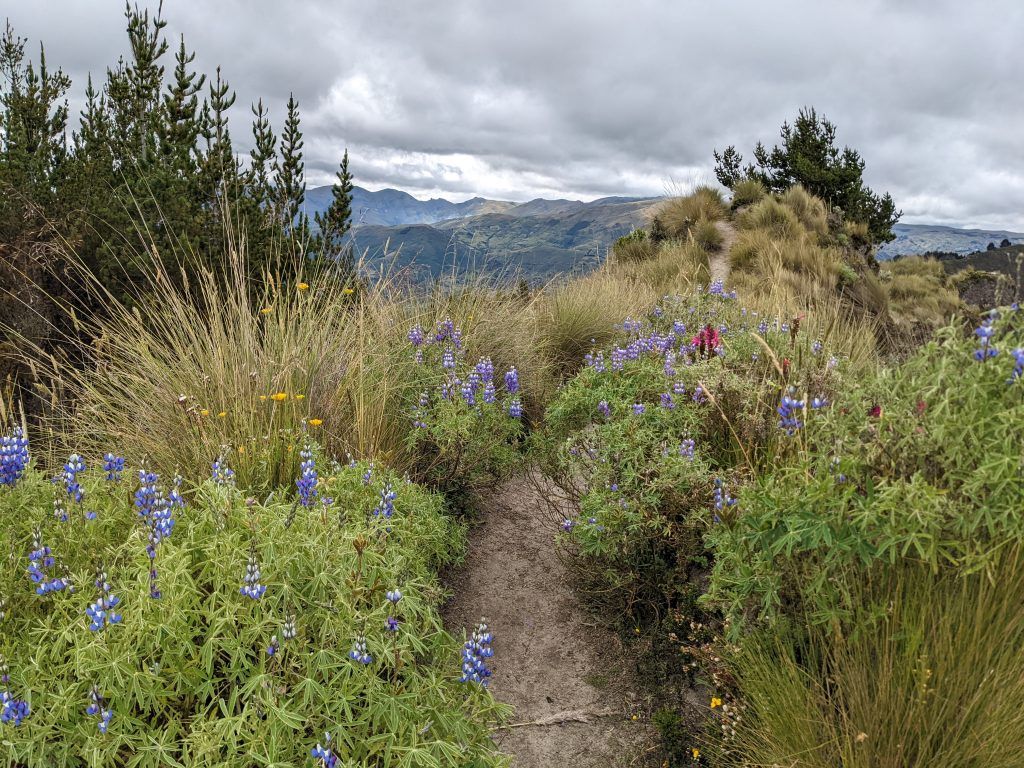
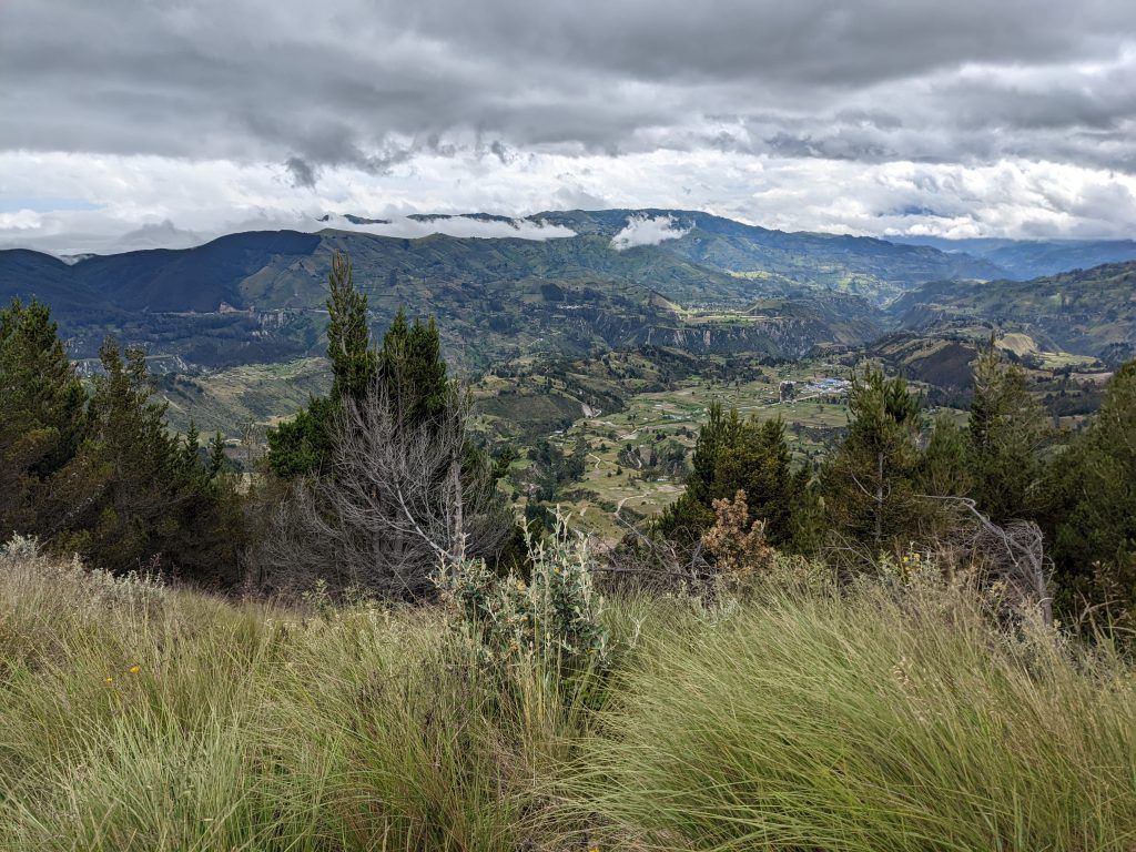
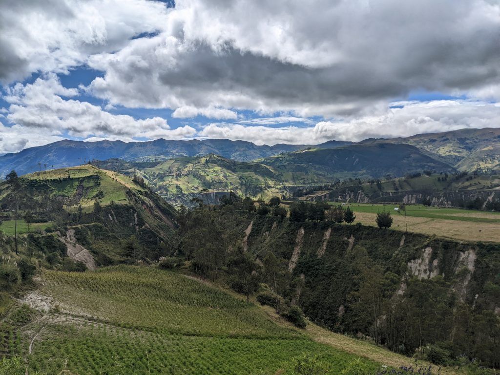
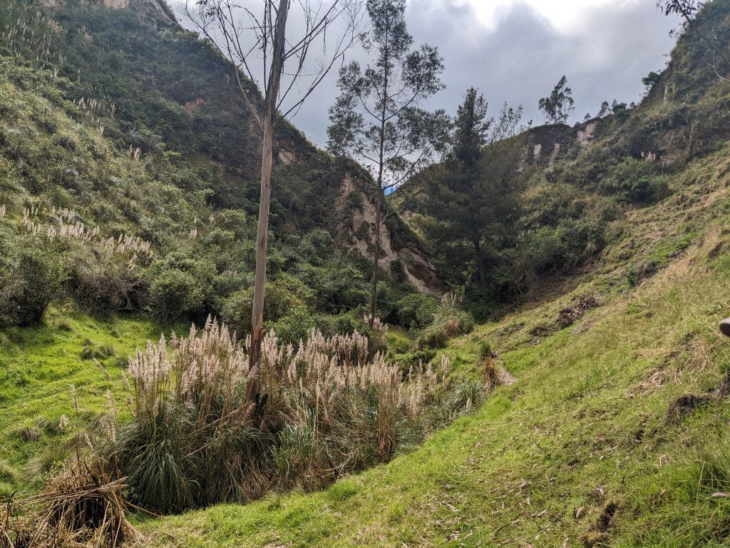
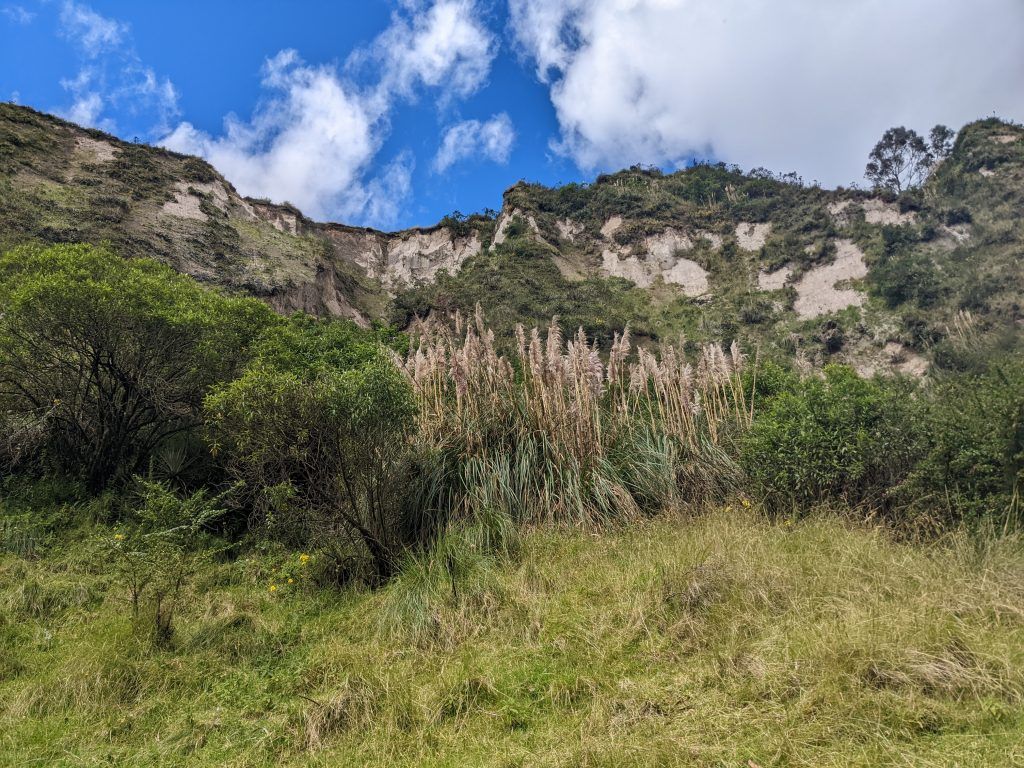
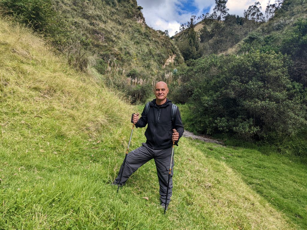
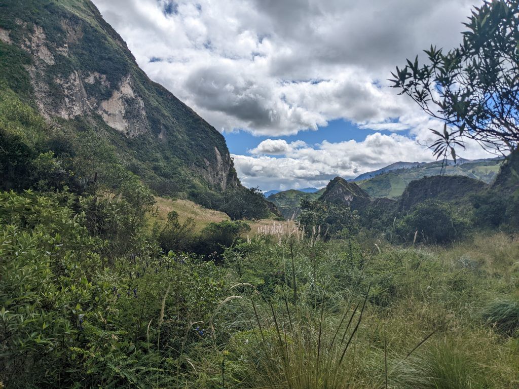
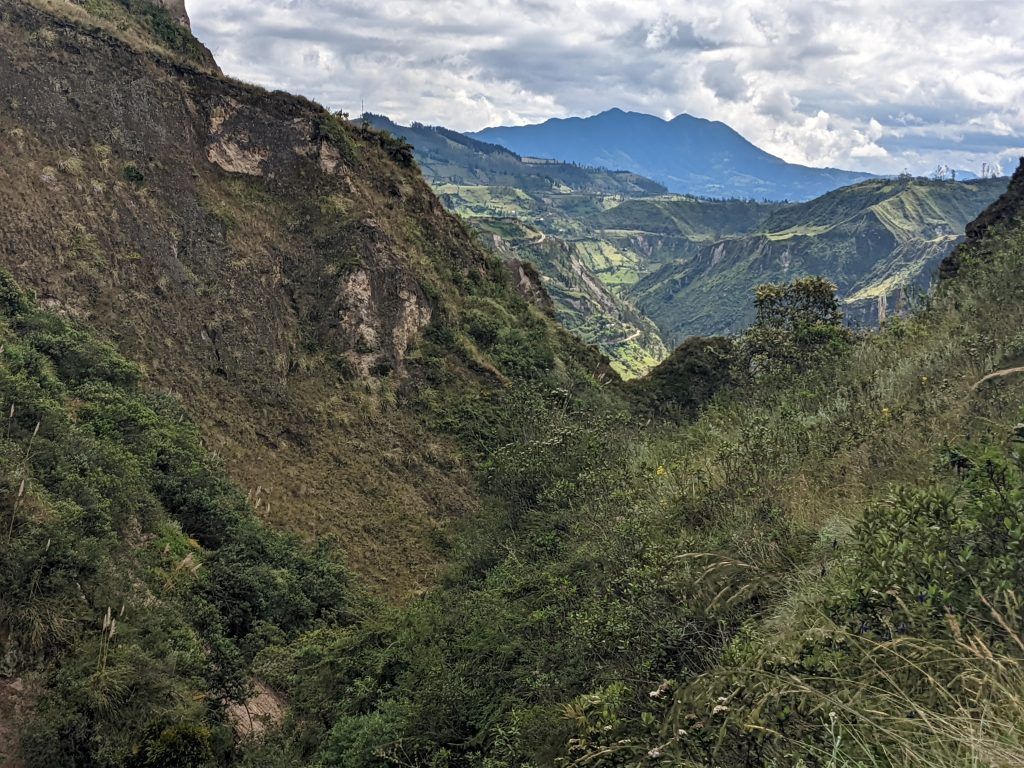
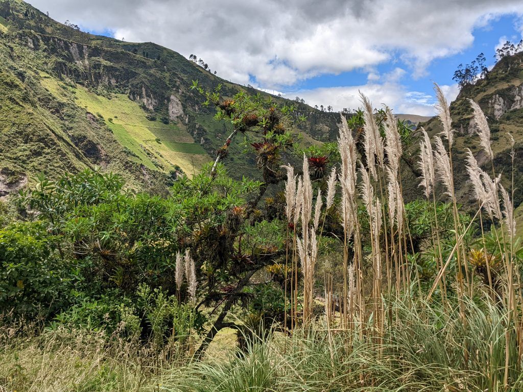
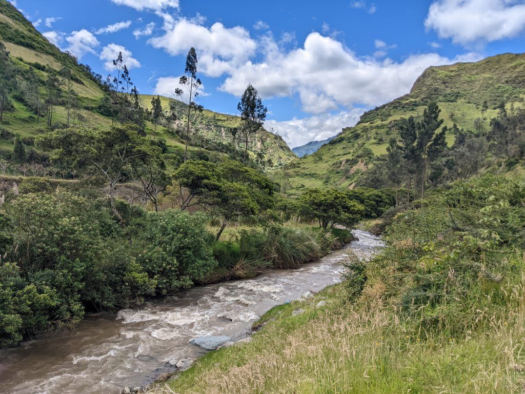
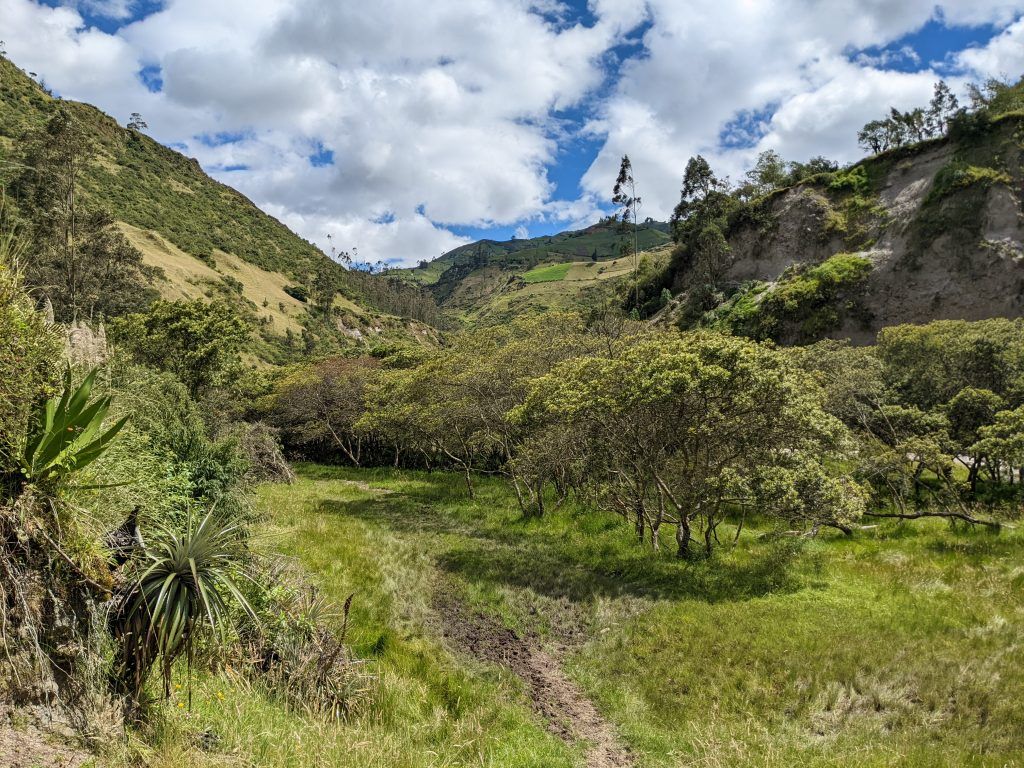
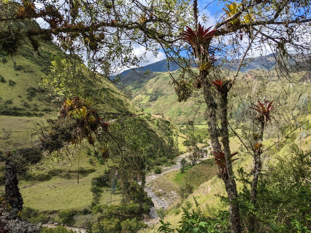
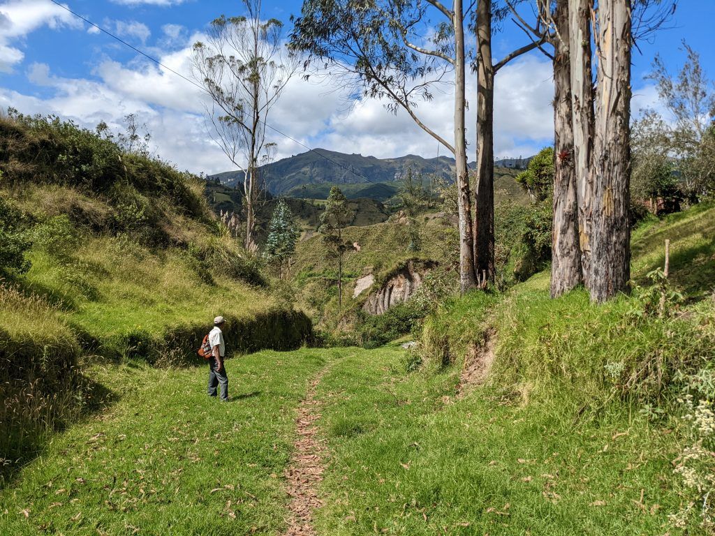
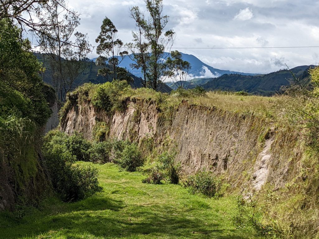
The second day we went back to Quilotoa and then started the 14km, 6 hour trek by passing around the side of the lake before heading on the main trail to the town of Chugchilan. The landscape constantly shifted as we made our way up and down this part of the Andes.
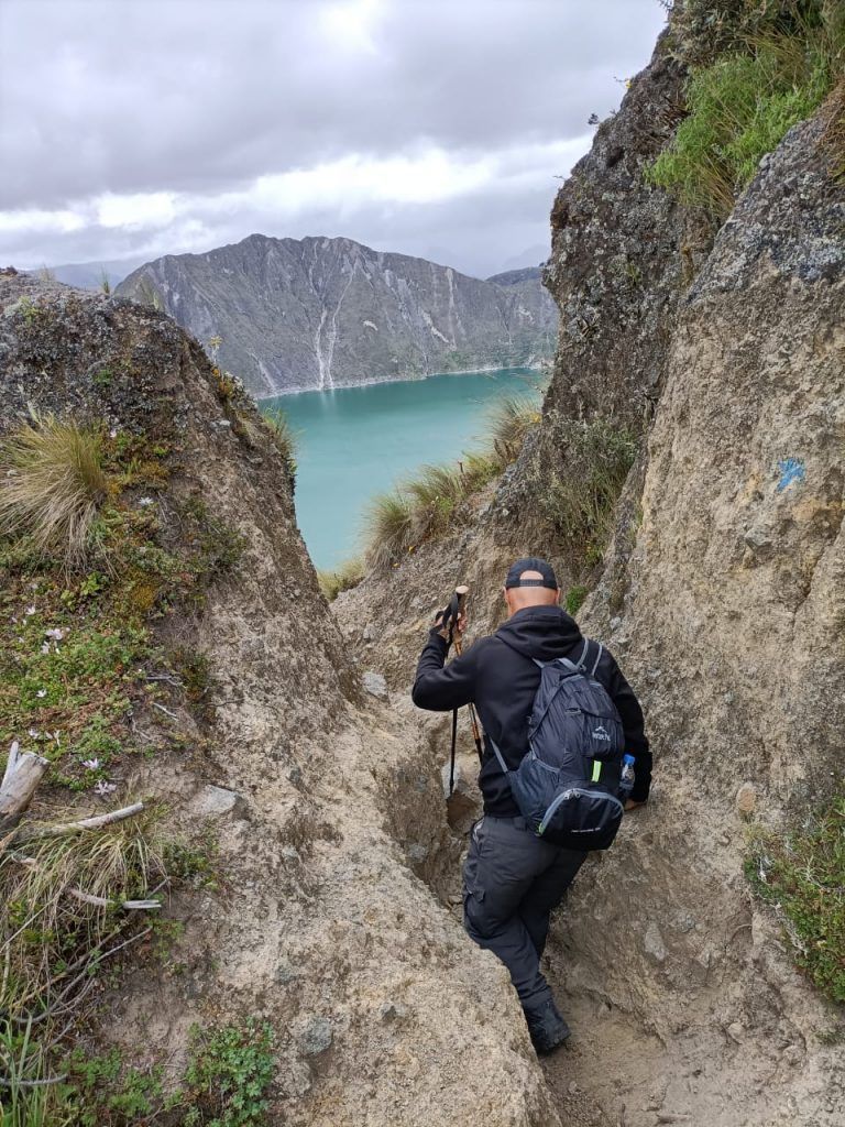
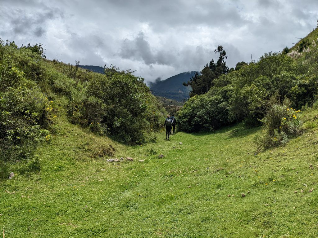
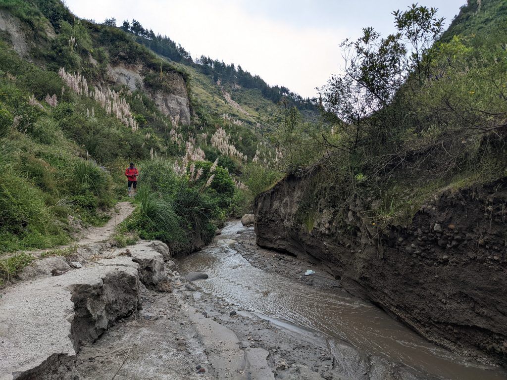
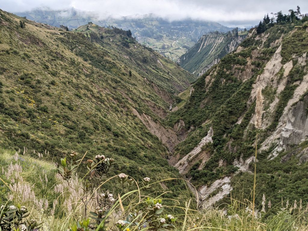
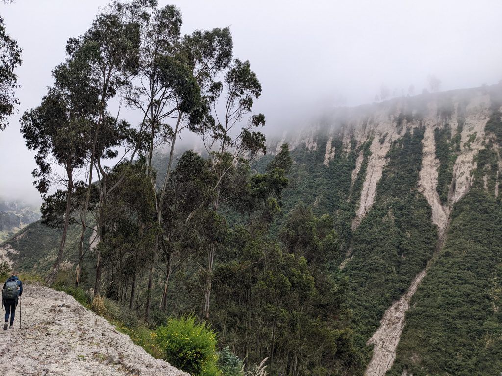
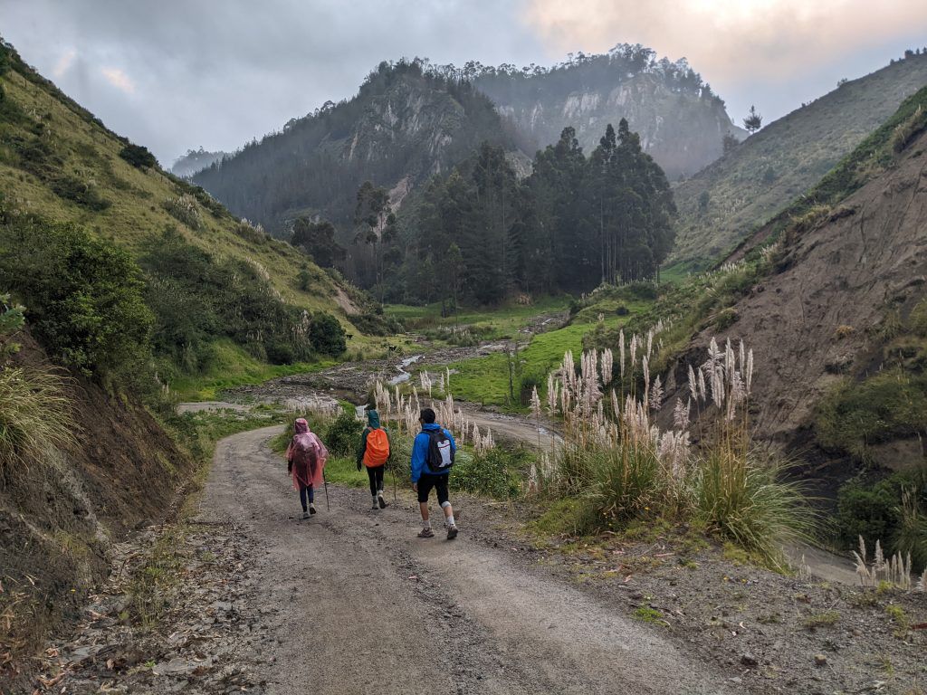
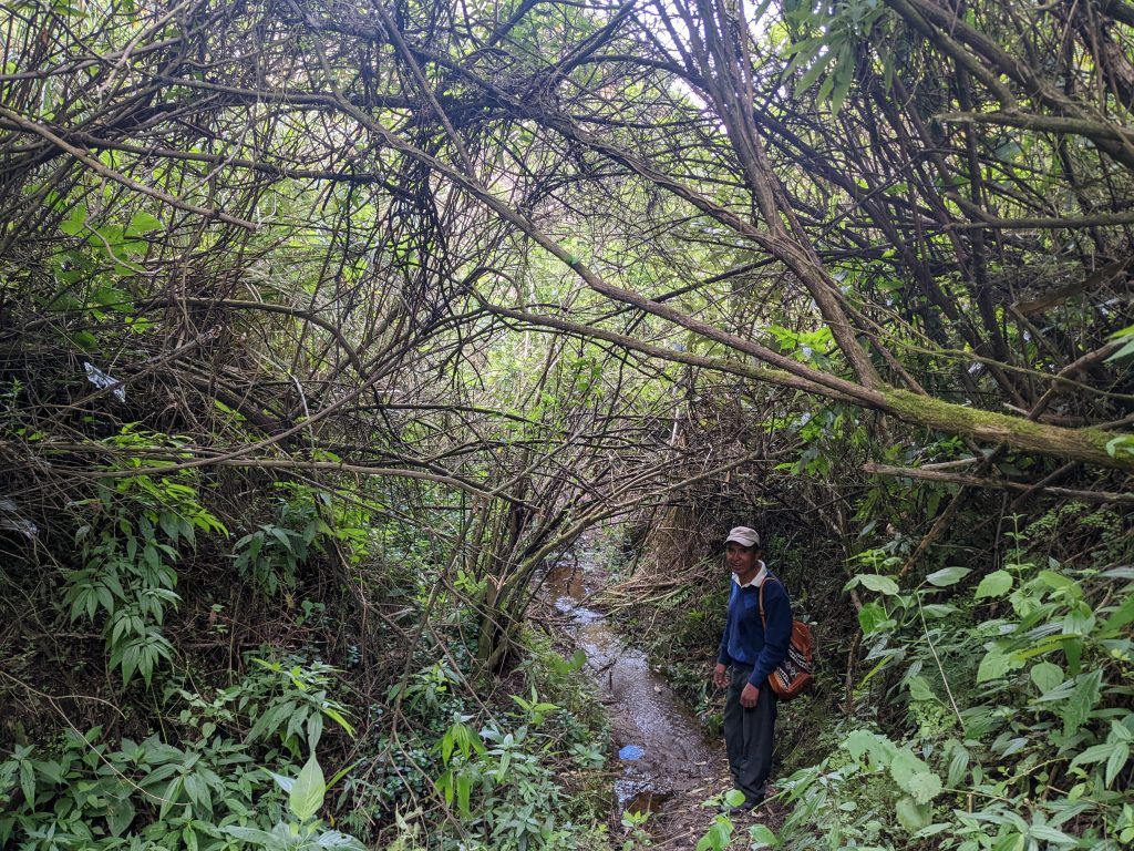
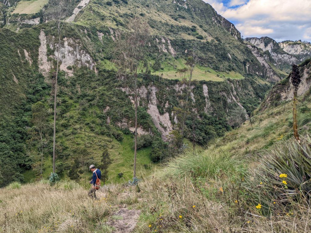
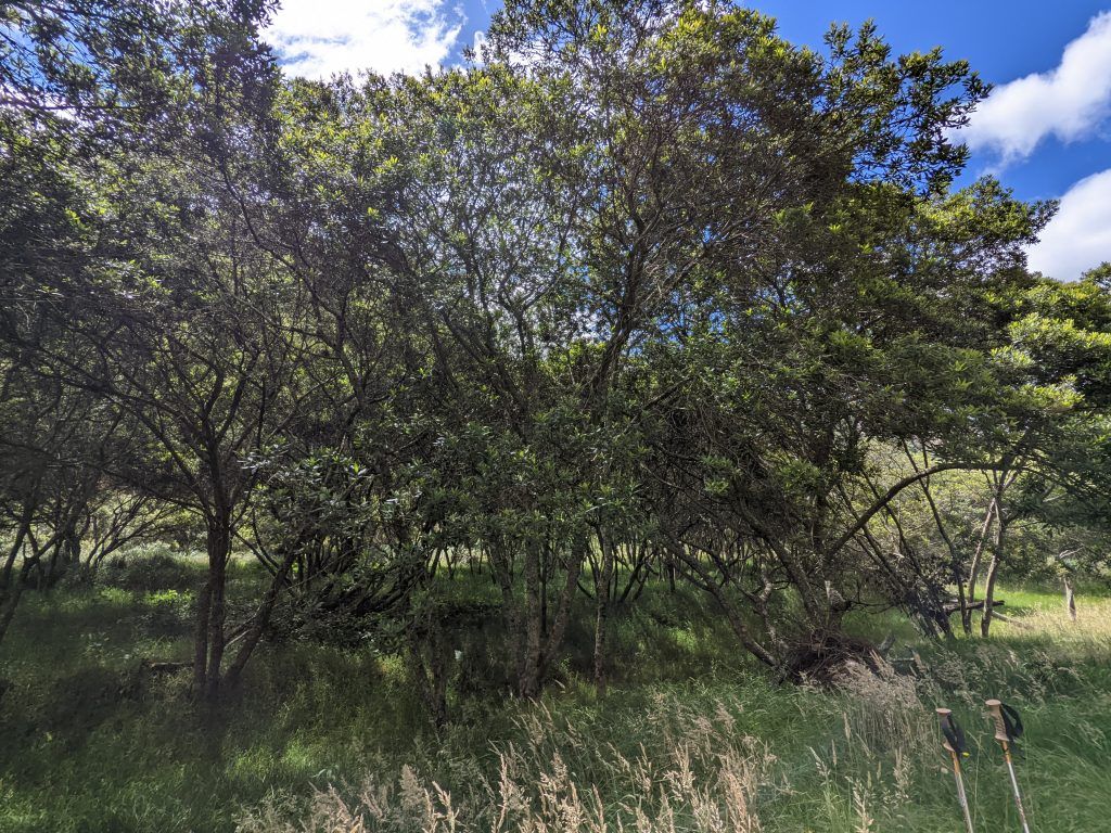
The third day I had a local guide take me through some really small community trails – almost goat paths – as we walked the 13km, 5.5 hour trek to the village of Insilivi, where Diego drove ahead with his car.
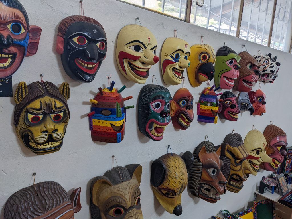
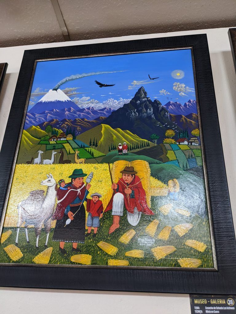
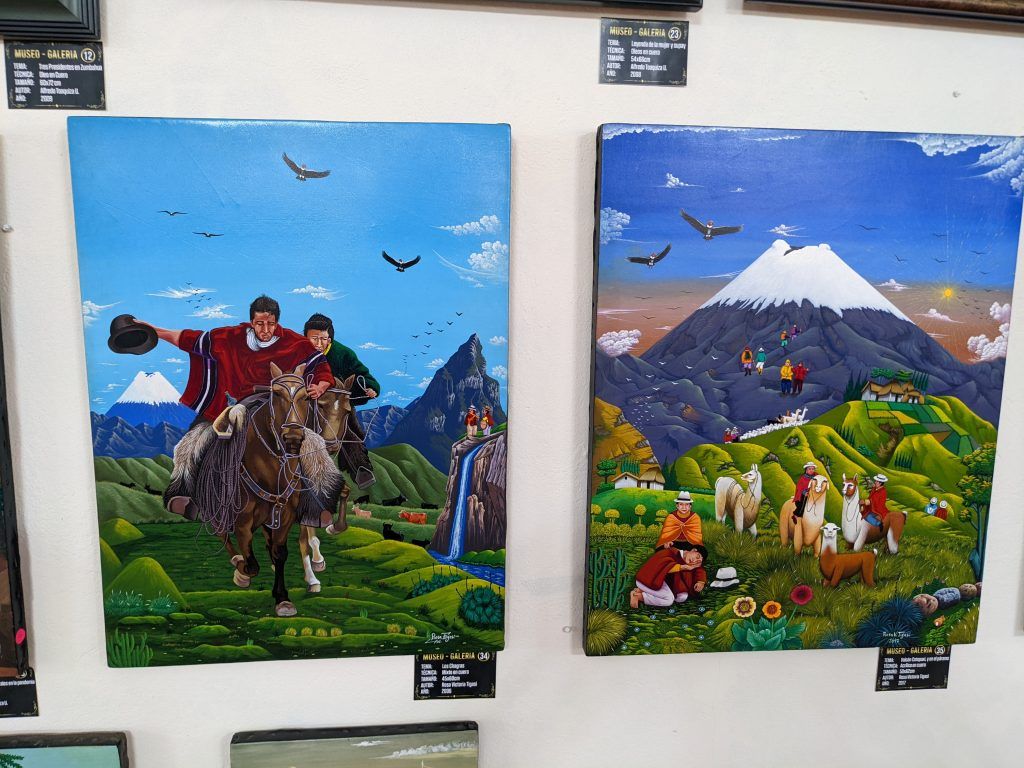
We also stopped at a nearby village which had some amazing maskwork and colorful paintings done on animal skins.
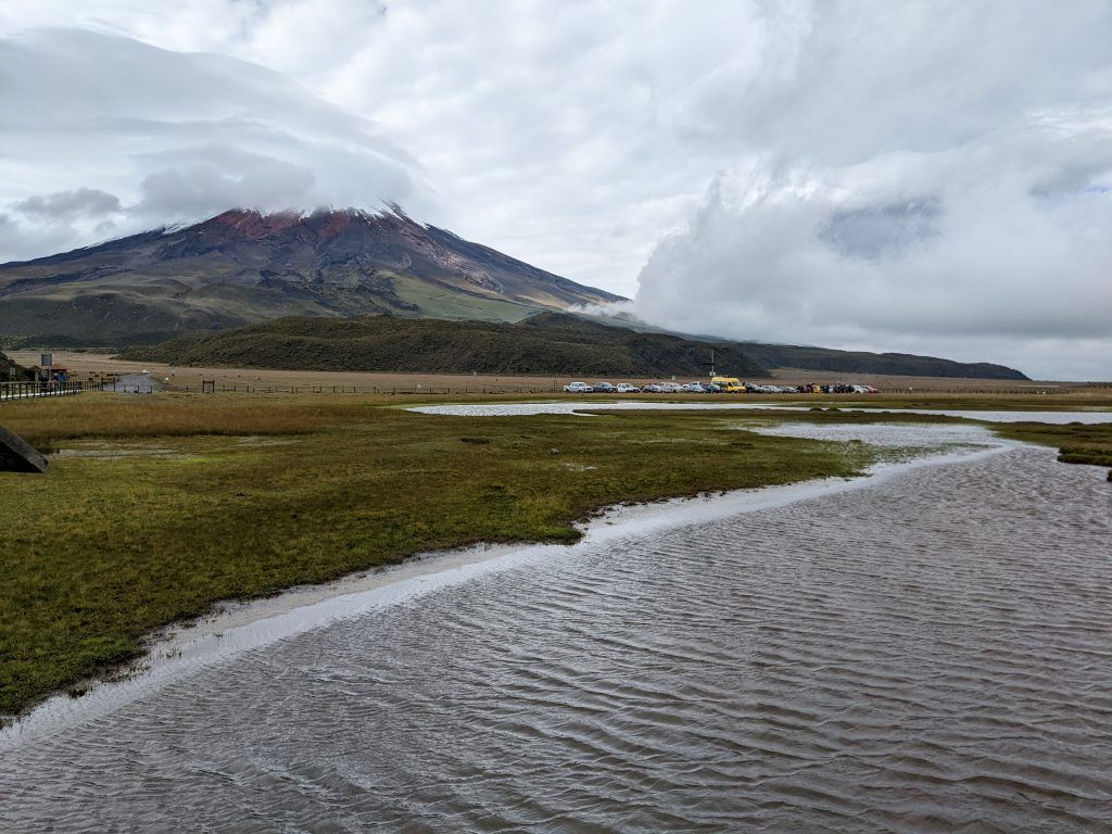
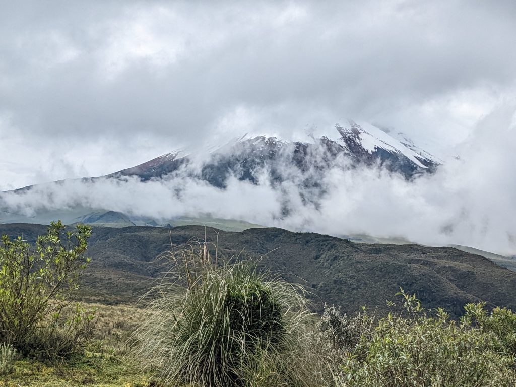
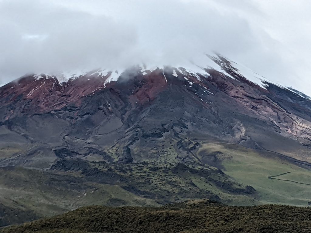
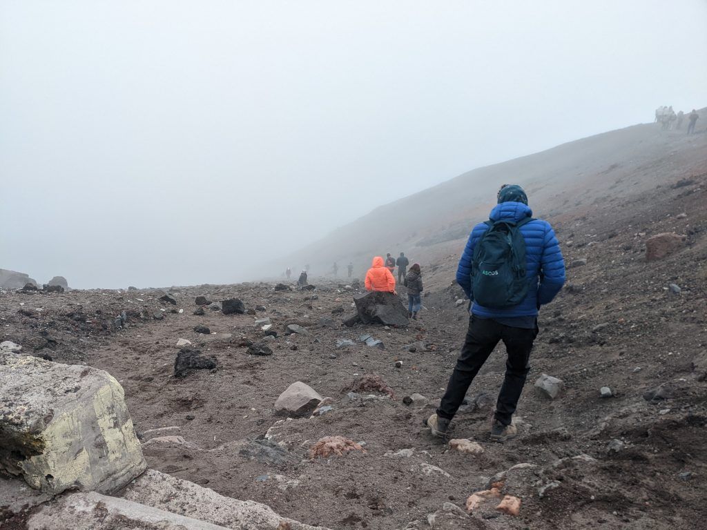
Cotopaxi National Park
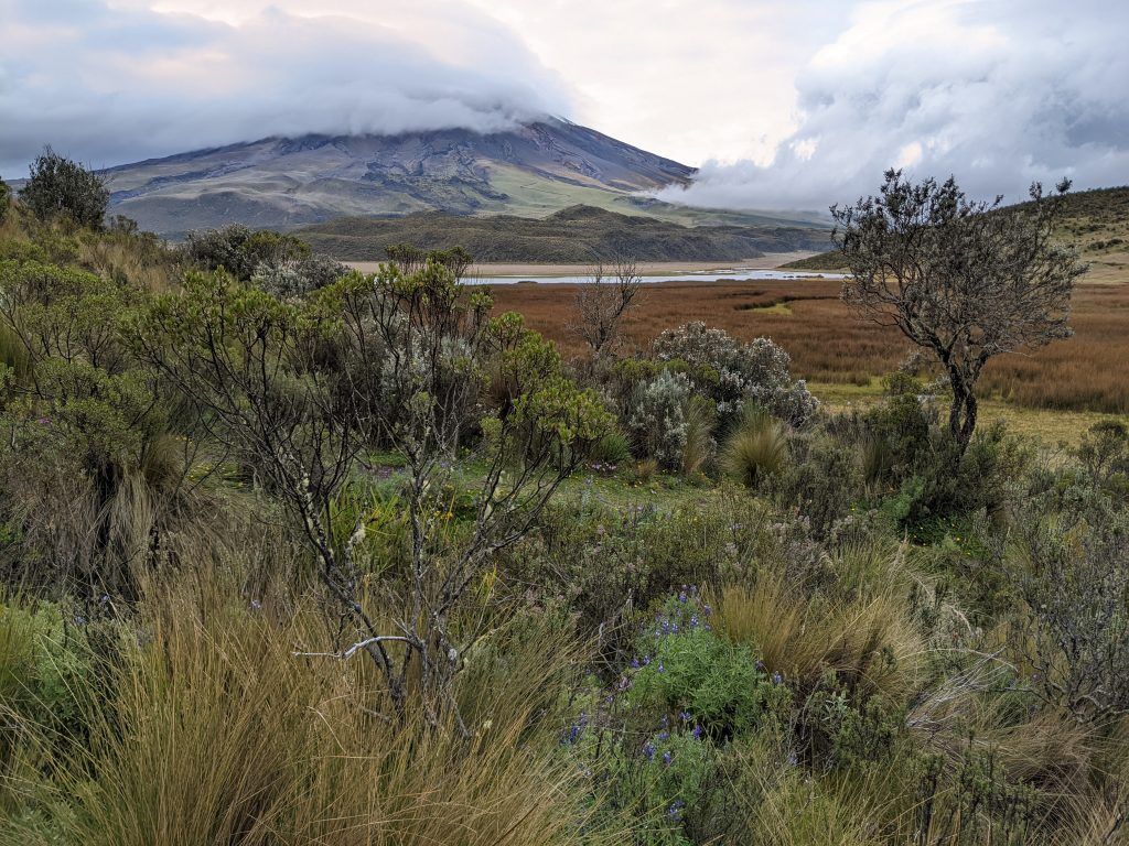
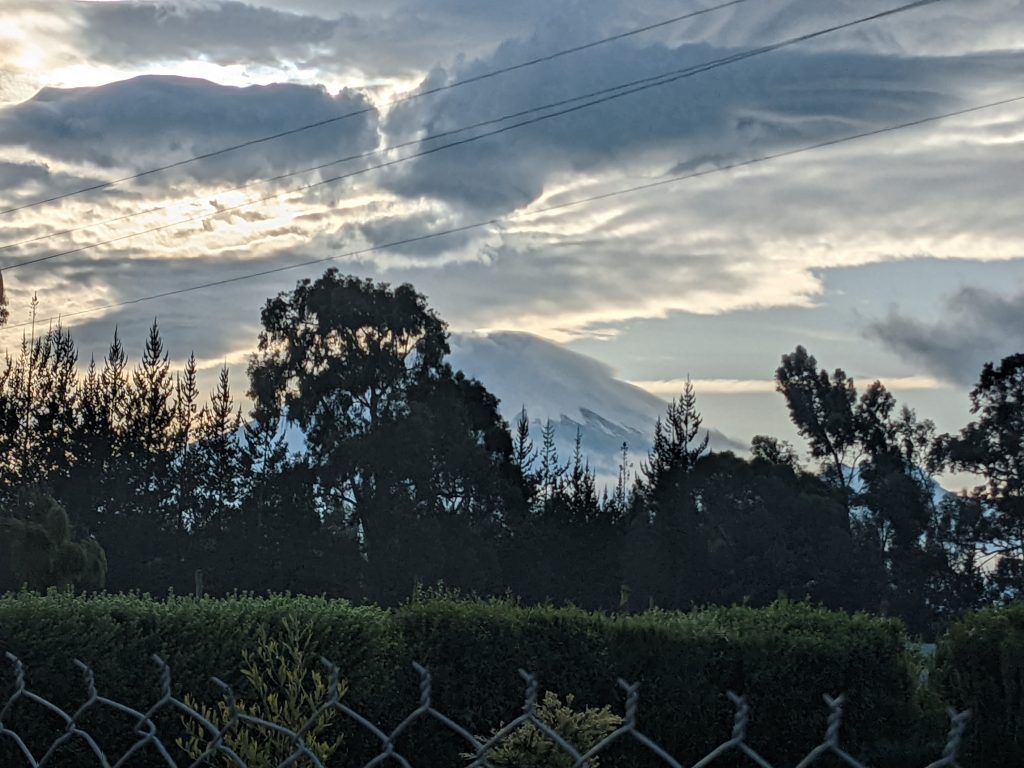
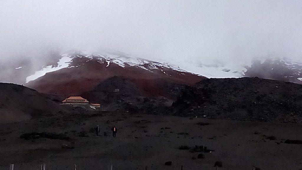
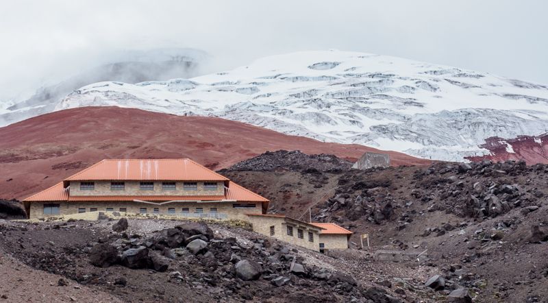
On our fourth day we visited the Cotopaxi National Park. The star of the park is the Cotopaxi Volcano. It’s an active volcano located about 50km south of Quito. It is the second highest summit in Ecuador, reaching a height of 5,897 meters (19,347 feet) and is among the highest active volcanoes in the world. Its most recent eruption went from August 2015 through January 2016 and many local villages were evacuated as a precaution.
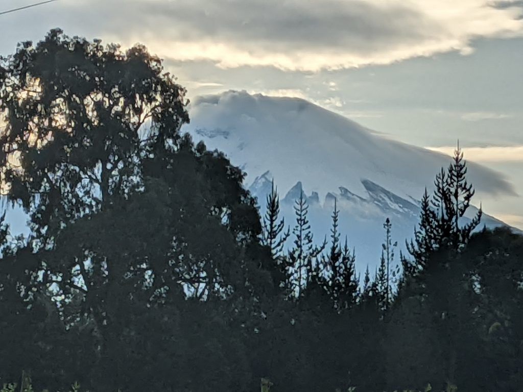
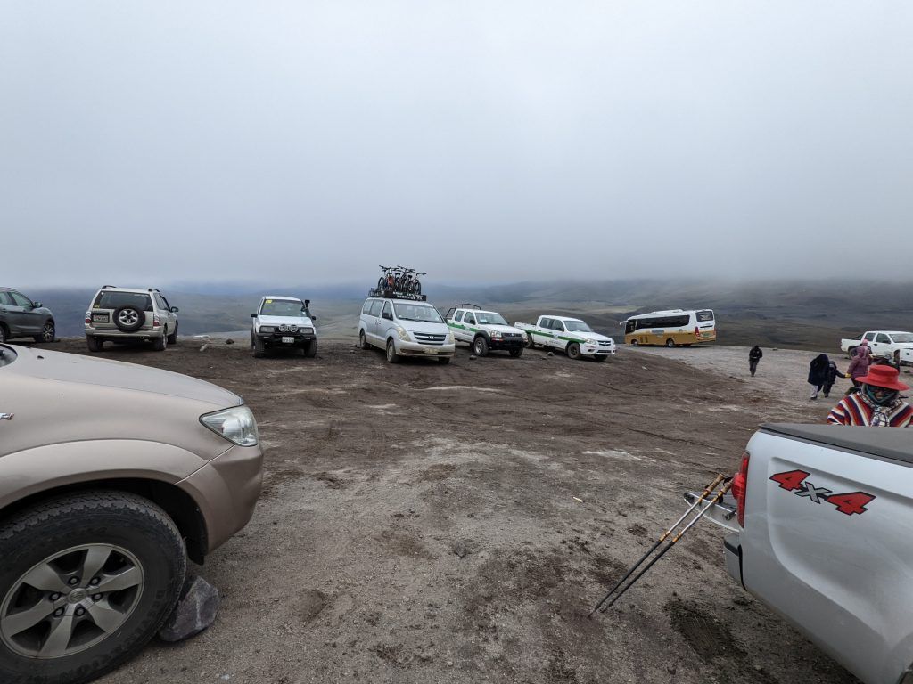
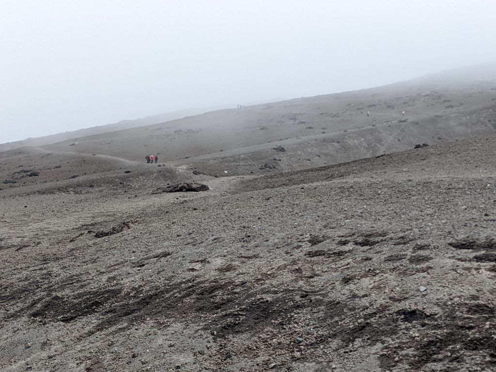
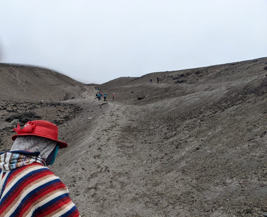
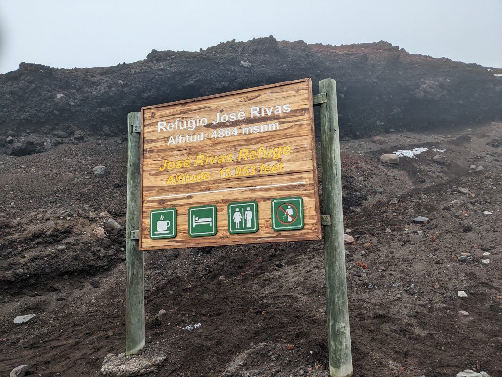
You can take a car up to a parking lot at 4,600 meters and then do about a 45 minute hike to the Jose Rivas Refuge, a stone structure at 4,800 meters (almost 16,00 feet). The hut has a small cafeteria and beds that act as a base camp for climbers that want to ascend to the 19,000 foot peak. I simply did the shorter, but still exhausting (from the altitude) hike from the parking lot. It was a really nice experience. The clouds and fog covered the glaciers for most of the time, but we still got a few good glimpses.
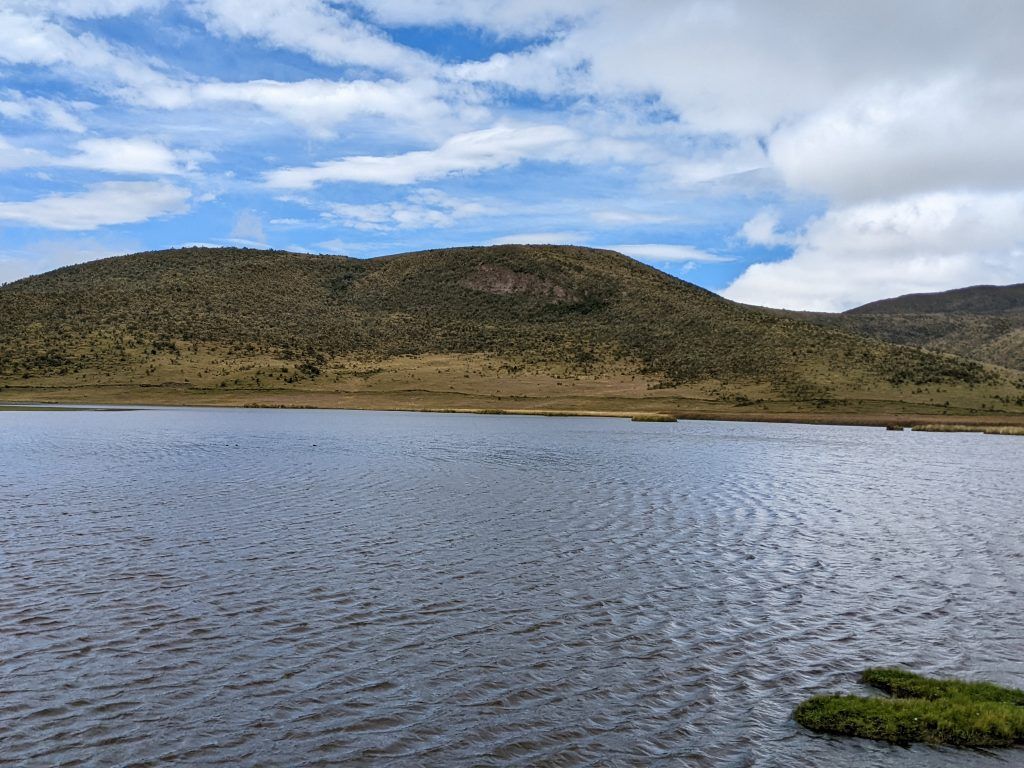
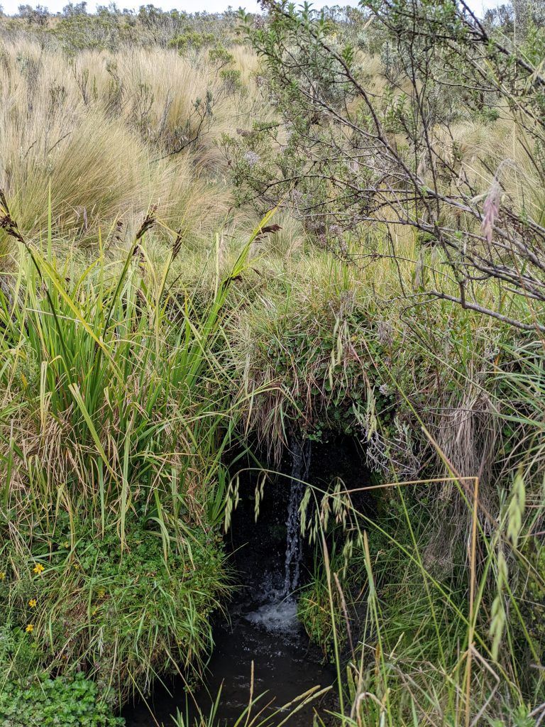
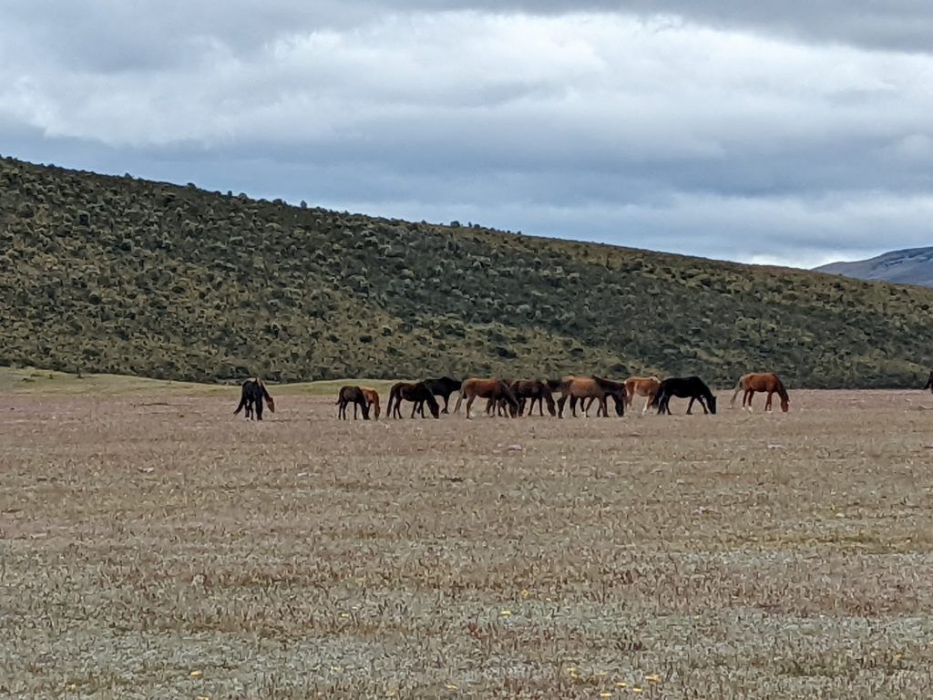
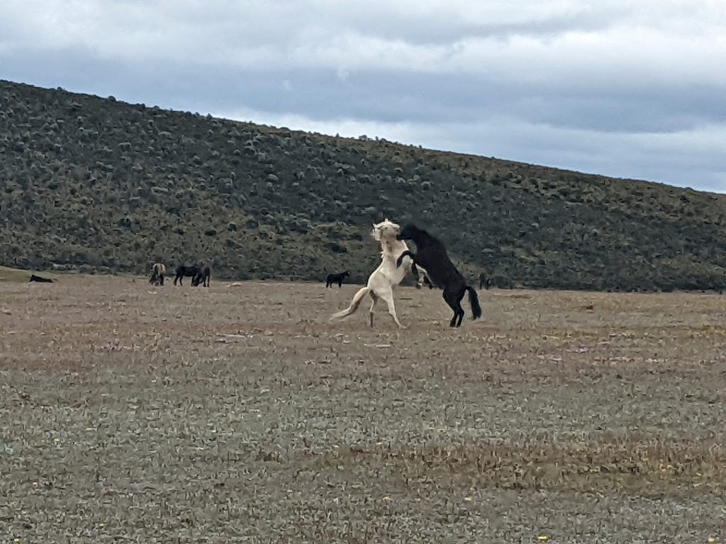
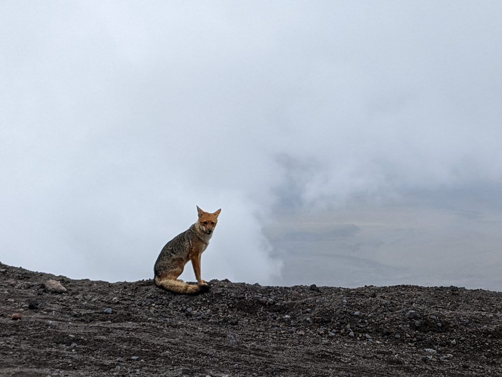
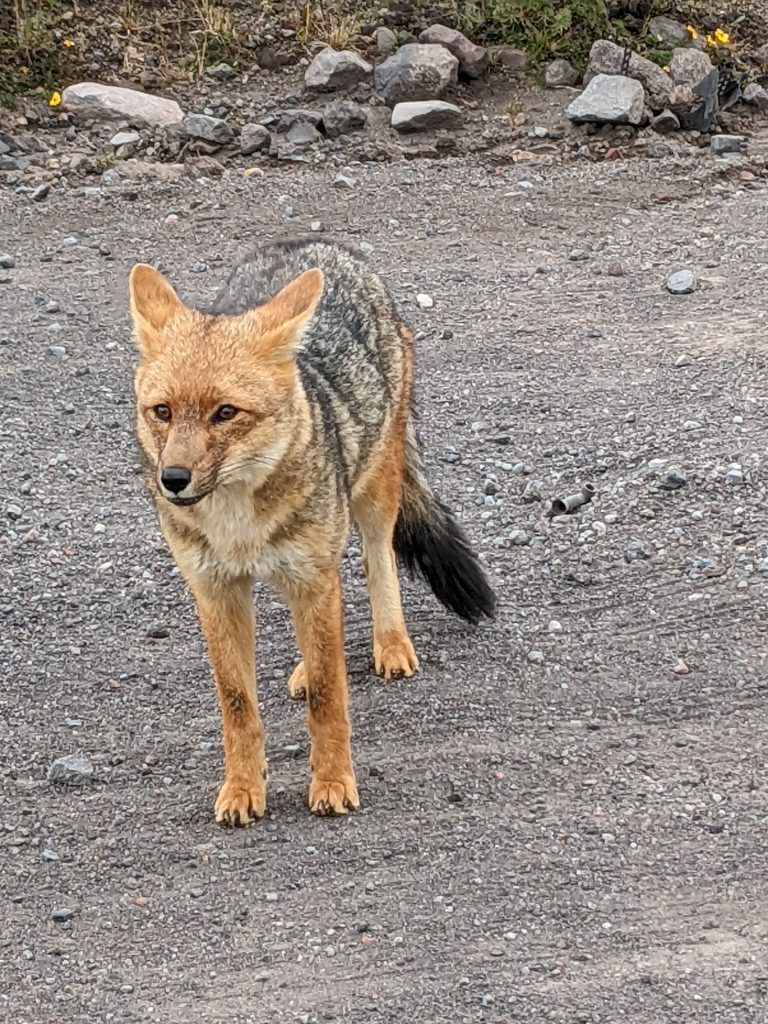
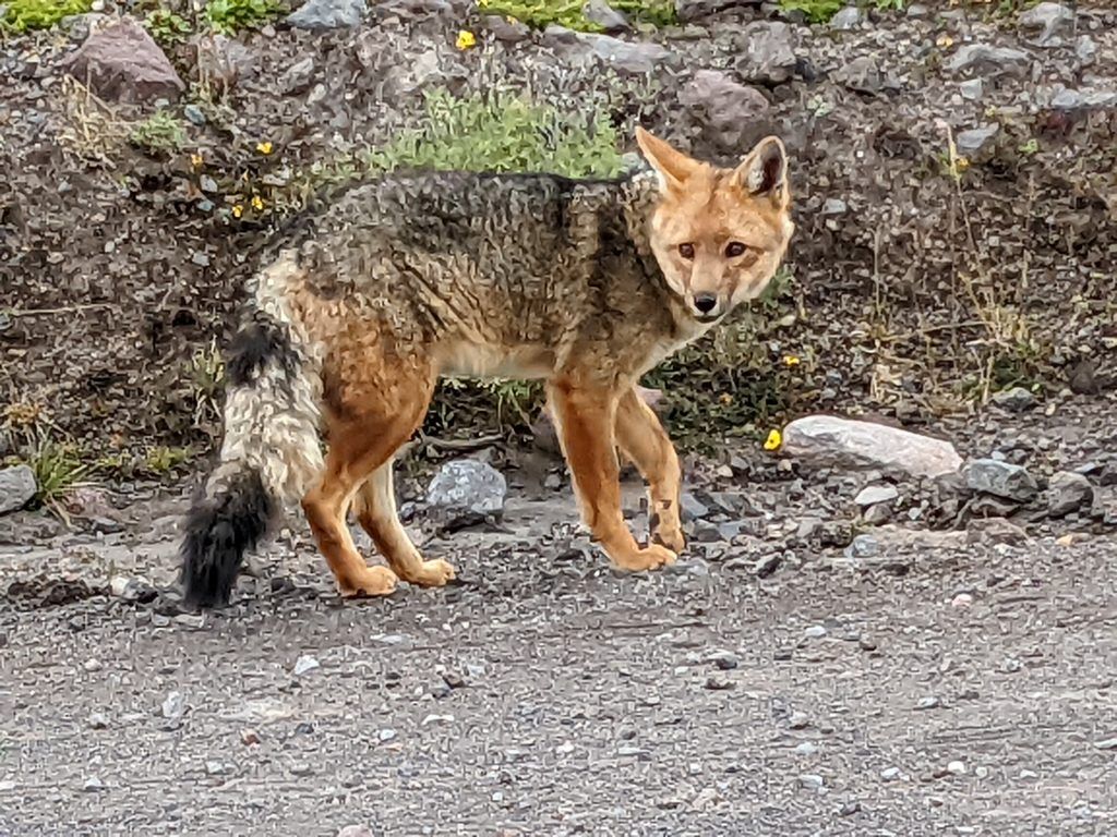
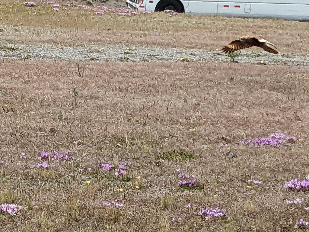
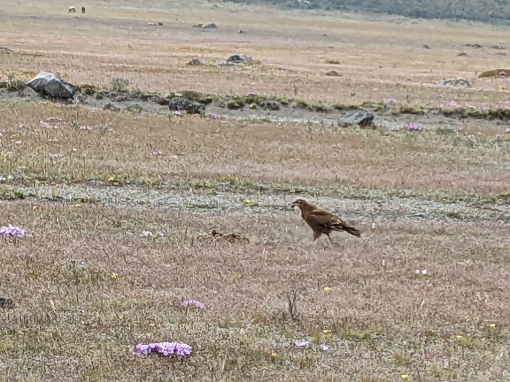
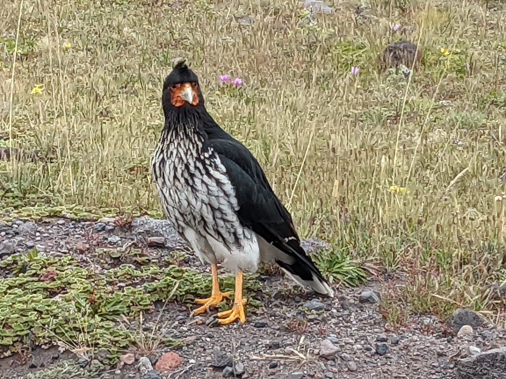
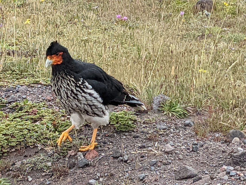
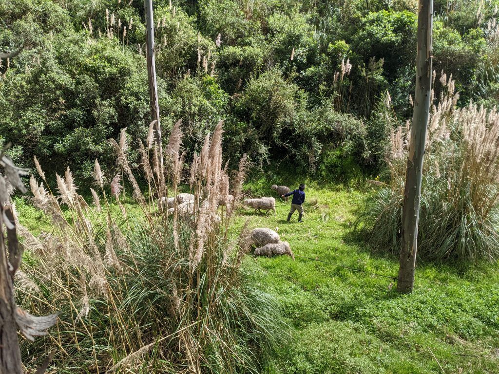
There is also the Limpiopungo Lake near the volcano. We did a really nice walk by the lake and were fortunate to see a multitude of animals as we drove around after the walk.